How to Read Live DFW Doppler Weather Radar for Smarter Storm Tracking
The most useful way to track storms in the Dallas-Fort Worth metro is with a live Doppler radar feed that updates every 4–6 minutes. Instead of guessing whether rain will arrive in 30 minutes or if hail is possible, a real-time radar shows the actual motion and intensity of precipitation across Tarrant, Dallas, Collin, and Denton counties. The key is knowing which radar layer to watch, how to interpret velocity signatures, and when to trust the data over local forecasts.
Why the live feed matters more than the forecast
A seven-day forecast can tell you rain is likely, but it won’t show a thunderstorm cell forming over Fort Worth at 3:15 p.m. or a line of heavy rain moving toward Plano at 7:45 p.m. Live DFW Doppler radar fills that gap by displaying precipitation intensity in near real time. The radar beam from the National Weather Service site in Fort Worth scans the atmosphere in slices, and each slice updates as new data arrives. For anyone planning outdoor work, travel, or events, checking the live feed five minutes before leaving the house is often more reliable than a 30-minute-old forecast.
Which radar layer reveals the real story
Most public radar apps default to the “base reflectivity” layer, which shows how hard rain is falling. That’s useful for spotting heavy downpours, but it doesn’t tell you if winds inside the storm are rotating. For that, switch to the “storm relative velocity” layer. Green shades indicate wind blowing toward the radar, while red shades show wind moving away. When you see adjacent pockets of green and red next to each other, it can signal rotation—often a precursor to hail or a tornado. In the DFW area, these signatures frequently appear near the Red River or over Parker County before storms intensify.
When to ignore the radar and trust the warnings
Live radar can miss small, fast-moving storms that develop between scans. If the National Weather Service issues a Severe Thunderstorm Warning or Tornado Warning for any part of the metro, treat it as the authoritative source regardless of what the radar shows at that exact moment. The warning polygon on the radar map outlines the area that should take immediate action, even if the storm appears weaker on screen. In practice, this means pausing outdoor activities when a warning is issued for your county, not waiting for the radar to update.
How to compare radar sources for the clearest picture
Not all radar feeds are equal. The NWS Fort Worth feed updates every 4–6 minutes and includes dual-polarization data, which helps distinguish rain from hail. Private apps like RadarScope or MyRadar often layer multiple radar sites, which can smooth out gaps near the edges of the DFW coverage area. For a quick check, the NWS mobile site or the free NWS app provides the most consistent updates. If you’re comparing sources, look for a feed that shows the radar site location (usually “KFWS” for Fort Worth) and the timestamp in the corner—outdated images can mislead even experienced users.
Start by bookmarking the live KFWS radar page and set a reminder to check it before heading out. Pair that with the NWS warning feed so you’re never caught off guard by a storm that wasn’t on the radar five minutes ago. In the DFW area, where pop-up storms can grow from a few sprinkles to golf-ball-sized hail in under 20 minutes, the difference between checking the live feed and relying on memory is often the difference between staying dry and dealing with damage.
Toolbox Talk Template For Workplace Health And Safety Compliance
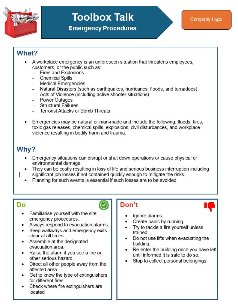
Toolbox Talk Template for Workplace Health and Safety Compliance ...